
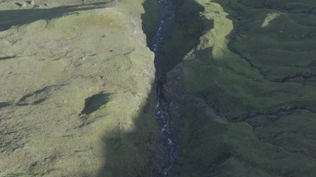


Driving in the Faroe Islands is more than just a way to get from place to place — it’s a central part of the travel experience. This rugged North Atlantic archipelago consists of 18 islands, and an extensive network of roads, bridges, and subsea tunnels links most of them, making self-driving one of the best ways to explore the country’s dramatic landscapes.
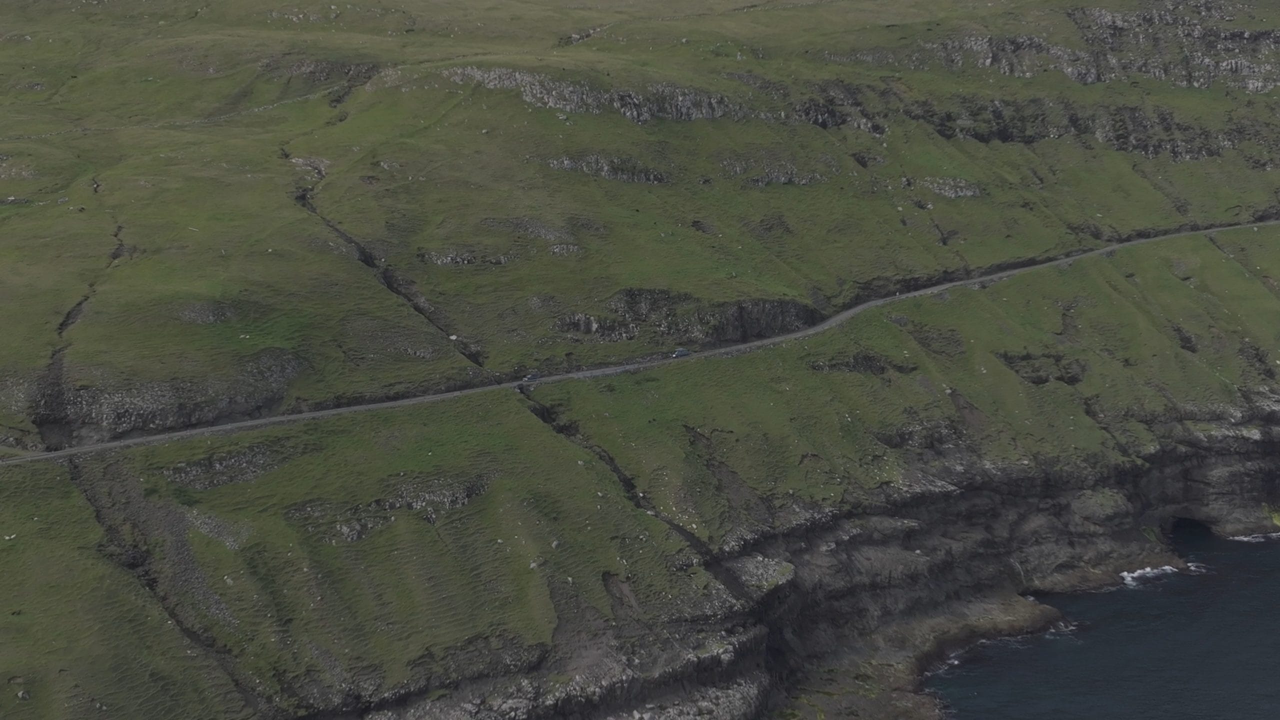
Most major roads are well-paved and well-maintained, but they can be narrow, winding, and steep, especially as you leave the capital and traverse fjords, mountains, and cliffs. Outside urban areas, the typical speed limit is around 80 km/h, while in towns it’s about 50 km/h. Because of the unique road conditions — often featuring one-lane tunnels and sheep crossing — it’s important to drive attentively and use designated lay-bys (passing places) when slower traffic needs to let others by.
One of the most impressive features of Faroese infrastructure is the network of undersea tunnels connecting islands. The Vágatunnilin links Vágar (where the international airport is) with Streymoy, allowing visitors to begin their road adventures immediately after arrival. The Eysturoyartunnilin, one of the most remarkable engineering achievements in the islands, connects Streymoy with Eysturoy and includes the world’s first underwater roundabout, now also a quirky point of interest on any road trip. For travelers heading south, the Sandoyartunnilin (opened in late 2023) links Streymoy and Sandoy beneath the sea, replacing the old ferry route.
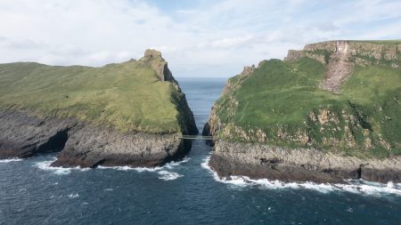
Among the scenic roads, Route 70 stands out as one of the most spectacular drives in the Faroes. Stretching about 16 km between Klaksvík — the islands’ second-largest town — and the picturesque village of Viðareiði, this route hugs dramatic northern coastlines and passes through classic Faroese terrain, including long one-lane tunnels (such as Hvannasundstunnilin and Árnafjarðartunnilin).
In addition to official highways, the Faroes feature a series of tourist routes called Sóljuleiðir (buttercup routes), named for the national flower. These lesser-traveled roads are marked on maps and signs and showcase some of the islands’ most breathtaking views. Ideal for leisurely exploration, they take drivers to hidden coves, dramatic cliffs, and remote fjord vistas — perfect for photography, short hikes, and discovering local culture.
Where should you go? Some top destinations reachable by road include:
-
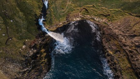
Múlafossur Waterfall and Gásadalur: A short drive on Vágar takes you to one of the most iconic waterfalls in the Faroes, framed by steep cliffs and ocean backdrop.
-
Gjógv on Eysturoy: A charming village with a natural harbour carved by erosion, ideal for walking and sea views.
-
Tjørnuvík: A northern village with dramatic beach and hiking trails (note vehicles over a certain size may not be allowed on its narrow access roads).
-
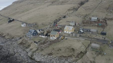
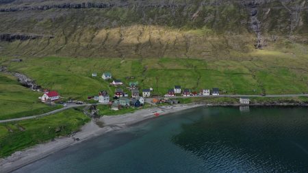
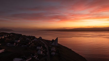
Saksun and Tórshavn: A tiny, atmospheric village tucked into a mountain-ringed inlet on Streymoy. It’s less about “attractions” and more about soaking in the landscape and silence. Tórshavn the capital, is one of the smallest capitals in the world but rich in culture, food, and history
To make the most of your Faroese road trip, rent a car (commonly done at Vágar Airport or in Tórshavn), have a reliable map or GPS, and be prepared for sudden weather changes — fog, wind, and rain can all affect your journey. With attentive driving and a flexible schedule, the roads of the Faroe Islands open up a world of wild beauty and unforgettable adventure.

Reviews
There are no reviews yet.